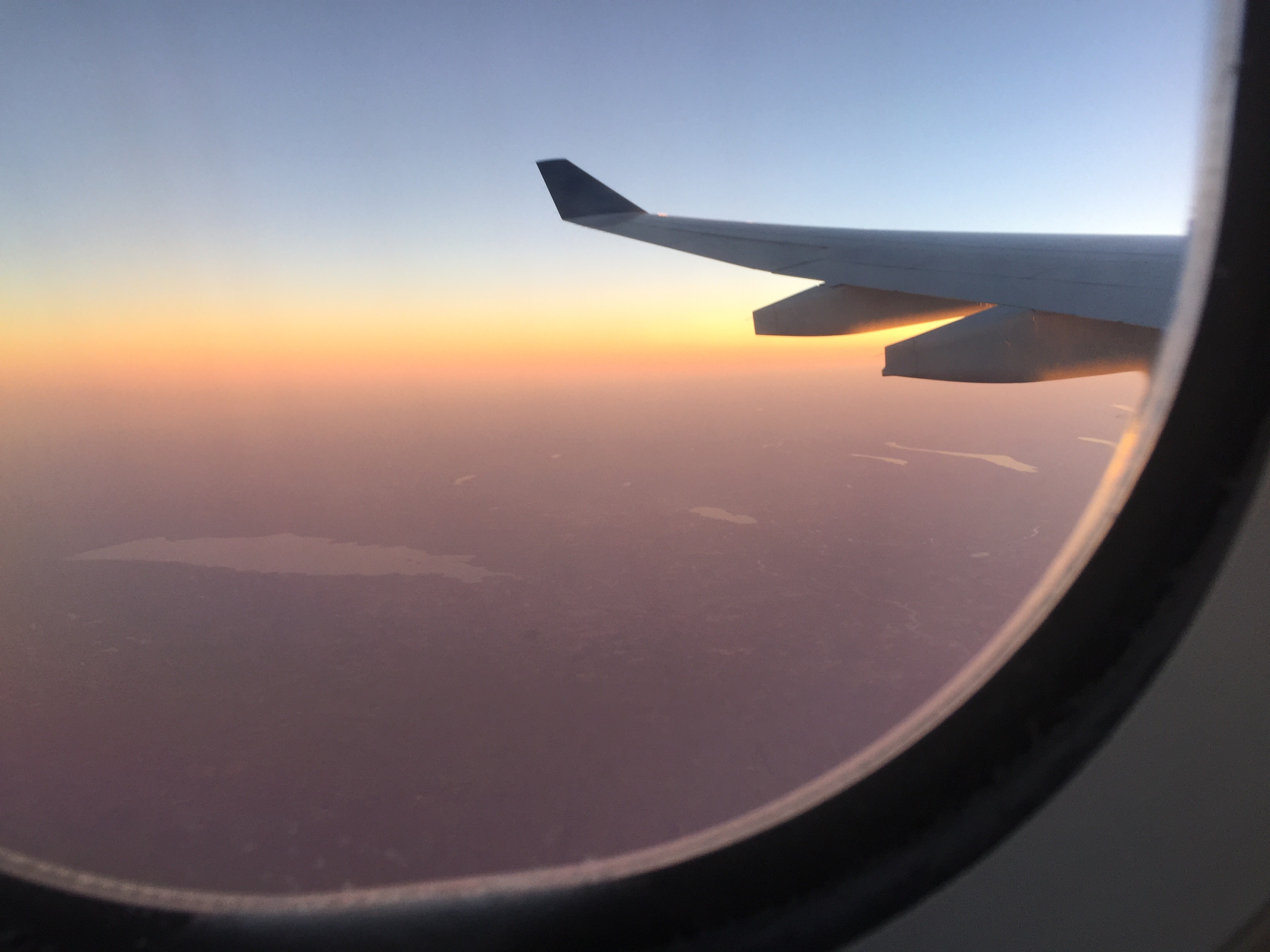
The flight from Amsterdam to Detroit follows a northerly route and crosses land in Canada, well above Newfoundland and follows the St. Lawrenace Seaway, southwesterly, before it dips into New York State and takes a more directly westerly heading. Since we left Amsterdam at 3:00 p.m. heading west, we were traveling into the sun and not losing too much time to its transit. For most of the flight, the surface below was obscured by clouds but when we reached Canada, some clearing give glimpses of rugged terrain in the northern parts of Canada–and lots to lakes and rivers.
Once heading nearly due west into a sunset, looking out the south side of the airplane, I easily recogized the Fingerlakes landscape. The first clue was Oneida Lake, which contrasts to the Fingerlakes in running east/west. It is also not shaped like a digit, more like a mashed foot. I learned only recently that Oneida Lake covers the largest area of any lake in New York. For my entire life in this area, I had assumed that Cayuaga’s 80 mile shoreline made it the largest lake, but Oneida’s shorter length, only 25 miles compared to Cayuga’s 40, is balanced with a greater width, 5 miles to Cayuga’s 2 at its widest. From 30,000 feet Oneida’s substantial presence is clear, with the beginnings of the slender Fingerlakes in the distance.
Further west, the obvious name for the Fingerlakes is evident. Cayuga and Seneca Lakes are the largest. Immediately east of Cayuga (the lake with the large bulge toward its northern end) is Owasco Lake, and to its east is Skaneateles Lake, my favorite of all. The very small one, farthest to the east, is Otisco. To the west of Seneca, which dominates the wine-growing industry, are six more smaller lakes.

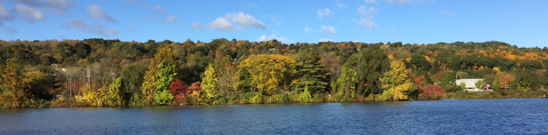
As I drove north out of Ithaca Tuesday morning, up the east side of the lake, the still bright and lustrous red and gold leaves made quite evident that fall here is a different order of magnitude more dramatica and more intense than what I saw on my recent excursion to central Europe. But then I did not venture into any hilly or wooded area, so I will have to save any confirmation or denial of this speculation for another trip.
And for anyone not familiar with an overview of all the Fingerlakes, here’s a link to a satellite view. There’s a claim, debunked I gather, that the Great Wall of China is the only man-made object visible from satellite observations. What I am pleased to realize is that the Iroquois, without the benefit of a view from 300 miles above, experiencing the landscape more immediately and directly, clearly understood its range and contours.
http://www.mapwatch.com/news-blog/images/free-landsat-images.jpg

Welcome back–and thanks for blogging!
LikeLike